Imagine pulling out your smartphone and being greeted by a map that not only shows you where to go but transforms your surroundings into a layer of interactive information. Sounds like science fiction, right? Well, welcome to the future of cartography. Today, maps are evolving from simple representations of terrain to immersive, high-tech guides that enhance our navigation experiences like never before. From augmented reality to AI-driven insights, the world of mapping is about to get a serious facelift. Get ready to embark on a journey into the innovative terrain of futuristic maps, where the only limit is your imagination.
The Evolution of Cartography
From Traditional to Digital Maps
For centuries, cartographers painstakingly drew maps by hand, capturing the world as best they could with ink and parchment. Fast forward to today, and the landscape looks remarkably different. With the advent of digital technology, the mapping experience has been transformed. Instead of unrolling heavy scrolls, users now swipe through interactive screens packed with dynamic data. Digital maps provide real-time updates, are easily shareable, and can accommodate a vast amount of information that traditional maps simply can’t host.
Emerging Technologies in Mapping
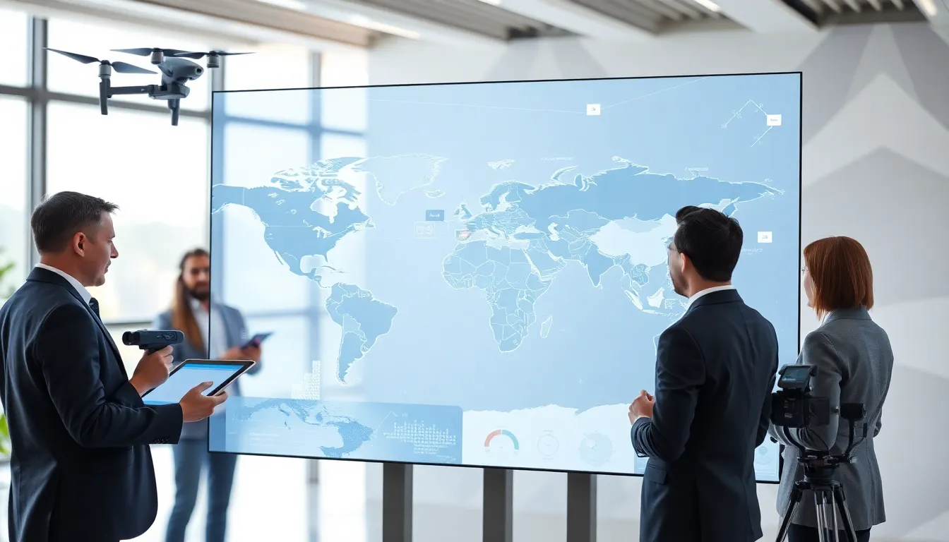
Emerging technologies are making waves in this ever-evolving field. GPS technology has revolutionized how people navigate, making lost strangers a thing of the past. Drones equipped with cameras are taking to the skies, creating detailed aerial maps with unparalleled precision. Meanwhile, geographic information systems (GIS) allow for intricate analysis of spatial data, meaning that users can not only see a map but understand the data behind it. As we jump into futuristic maps, these technologies lay the groundwork for innovative developments on the horizon.
Key Innovations Shaping Future Maps
Augmented Reality and Virtual Reality
Imagine donning a pair of AR glasses while wandering around a new city. Instead of relying solely on a phone app, users receive contextual information layered directly over their surroundings. AR and VR technologies are set to redefine how we interact with maps. Whether it’s visualizing historical landmarks in 3D or receiving directions projected right onto the street in front of you, these innovations promise to enhance navigation like never before.
Real-Time Data Integration
Today’s maps can connect to a variety of data sources in real time, offering precise information on traffic, weather, and even crime rates. A futuristic map could analyze multiple streams of data and provide users with the best routes in real-time based on current events. For instance, if a major event is traffic-jamming the city, the map could instantly adjust and suggest less traveled routes. This dynamic nature ensures maps are more than static images, they become active tools in helping people navigate the world.
AI and Machine Learning in Mapping
Personalized Navigation Experiences
With the help of AI and machine learning, mapping is becoming increasingly personalized. Imagine a navigation system that learns individual preferences over time. After a few trips, it could suggest routes based on past behavior, whether someone favors scenic landscapes or efficient highways. Also, such systems could adapt in real-time, modifying routes based on changing traffic conditions or user feedback.
Predictive Analytics for Urban Planning
Beyond personal navigation, AI’s impact stretches into urban planning. Predictive analytics can help city planners anticipate future needs, like where roads should go or what public transport options would best serve growing communities. Maps that incorporate these forecasts will help create smarter, more efficient urban landscapes that align with dynamic population trends.
The Role of Sustainability in Future Mapping
Eco-Friendly Mapping Solutions
As awareness of environmental issues grows, so does the call for sustainability in all sectors, including cartography. Future maps will likely incorporate eco-friendly solutions, promoting green transportation options or emphasizing environmentally sensitive areas. By integrating data that highlights sustainable practices, maps can encourage users to make choices that positively impact the planet.
Community-Driven Mapping Initiatives
Communities are becoming increasingly involved in the mapping process. Crowdsourced mapping platforms allow everyday citizens to contribute updates and corrections, leading to more accurate and inclusive representations of their locales. This grassroots approach also empowers communities by highlighting local businesses and initiatives that may not appear on traditional maps, so reinforcing connections within neighborhoods and cities.
Challenges in Creating Futuristic Maps
Data Privacy and Security Concerns
As mapping technology grows more sophisticated, concerns about data privacy and security inevitably arise. Users are often wary of sharing personal information to get tailored navigational experiences. Cartographers and tech developers must strike a balance between innovation and privacy, ensuring that maps respect users’ data while still offering personalized, valuable insights.
Balancing Innovation with Usability
Another challenge lies in creating maps that are both innovative and user-friendly. Technology can sometimes overcomplicate the user experience: a visually stunning map won’t matter if users can’t easily navigate it. Designers will need to think critically about how to integrate advanced features while maintaining an intuitive interface that users can confidently rely on.